Barn near West End
Introduction
The photograph on this page of Barn near West End by Andrew Curtis as part of the Geograph project.
The Geograph project started in 2005 with the aim of publishing, organising and preserving representative images for every square kilometre of Great Britain, Ireland and the Isle of Man.

There are currently over 7.5m images from over 14,400 individuals and you can help contribute to the project by visiting https://www.geograph.org.uk
Barn near West End
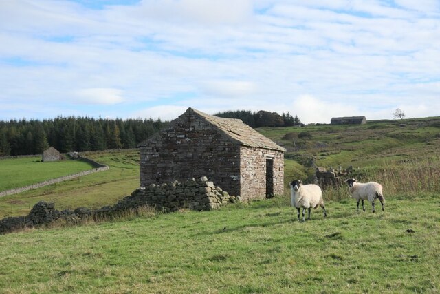
Image: © Andrew Curtis Taken: 6 Oct 2020
Close to the former location of a small farm, Middle Rigg. The extant farm, West End, was formerly called High Middle Rigg.
Images are licensed for reuse under creativecommons.org/licenses/by-sa/2.0
Image Location
Latitude
54.804413
Longitude
-2.235496