The line back up to Langport
Introduction
The photograph on this page of The line back up to Langport by Neil Owen as part of the Geograph project.
The Geograph project started in 2005 with the aim of publishing, organising and preserving representative images for every square kilometre of Great Britain, Ireland and the Isle of Man.

There are currently over 7.5m images from over 14,400 individuals and you can help contribute to the project by visiting https://www.geograph.org.uk
The line back up to Langport
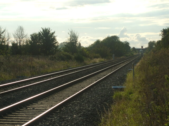
Image: © Neil Owen Taken: 6 Sep 2020
This part of the line has a footpath crossing over it. Looks clear at the moment.
Images are licensed for reuse under creativecommons.org/licenses/by-sa/2.0
Image Location
Latitude
51.040365
Longitude
-2.79541