Bailey Water
Introduction
The photograph on this page of Bailey Water by Peter McDermott as part of the Geograph project.
The Geograph project started in 2005 with the aim of publishing, organising and preserving representative images for every square kilometre of Great Britain, Ireland and the Isle of Man.

There are currently over 7.5m images from over 14,400 individuals and you can help contribute to the project by visiting https://www.geograph.org.uk
Bailey Water
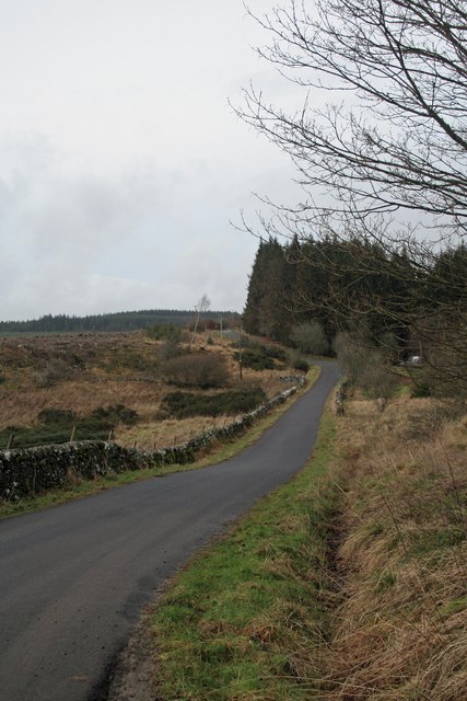
Image: © Peter McDermott Taken: 19 Jan 2008
The head of Bailey Water at the confluence of Cuddy's Burn, Rispie Sike and Smithy Gill.
Images are licensed for reuse under creativecommons.org/licenses/by-sa/2.0
Image Location
Latitude
55.119074
Longitude
-2.753652