Railway into Workington Docks
Introduction
The photograph on this page of Railway into Workington Docks by Adrian Taylor as part of the Geograph project.
The Geograph project started in 2005 with the aim of publishing, organising and preserving representative images for every square kilometre of Great Britain, Ireland and the Isle of Man.

There are currently over 7.5m images from over 14,400 individuals and you can help contribute to the project by visiting https://www.geograph.org.uk
Railway into Workington Docks
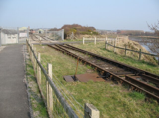
Image: © Adrian Taylor Taken: 19 Mar 2009
The railway is mainly used for transporting steel rails for export and connects Workington Docks with the internal Workington Steelworks railway system, via the Workington Dock or Harbour Bridge. The footpath leads from Curwen Road to Northside, it is also the Cumbria Coastal Way and part of National Cycle Route 71.
Images are licensed for reuse under creativecommons.org/licenses/by-sa/2.0
Image Location
Latitude
54.648261
Longitude
-3.56307