Track from Bogside Farm to Bogside Farm Cottages
Introduction
The photograph on this page of Track from Bogside Farm to Bogside Farm Cottages by wrobison as part of the Geograph project.
The Geograph project started in 2005 with the aim of publishing, organising and preserving representative images for every square kilometre of Great Britain, Ireland and the Isle of Man.

There are currently over 7.5m images from over 14,400 individuals and you can help contribute to the project by visiting https://www.geograph.org.uk
Track from Bogside Farm to Bogside Farm Cottages
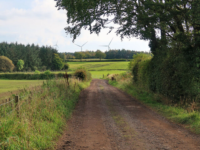
Image: © wrobison Taken: 2 Oct 2020
The site of Swinhill Colliery (No.4 Pit) is behind the trees on the left and the groundworks in the field in the centre show the route of the mineral railway to the colliery.
Images are licensed for reuse under creativecommons.org/licenses/by-sa/2.0
Image Location
Latitude
55.716012
Longitude
-3.940381