Footpath to Brough Lane
Introduction
The photograph on this page of Footpath to Brough Lane by Jonathan Thacker as part of the Geograph project.
The Geograph project started in 2005 with the aim of publishing, organising and preserving representative images for every square kilometre of Great Britain, Ireland and the Isle of Man.

There are currently over 7.5m images from over 14,400 individuals and you can help contribute to the project by visiting https://www.geograph.org.uk
Footpath to Brough Lane
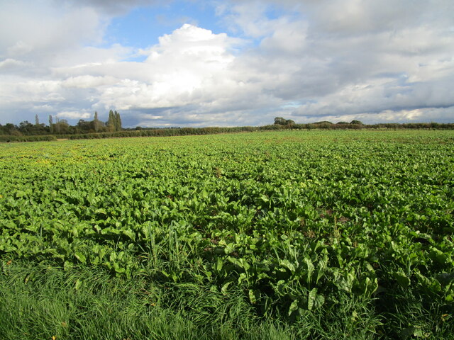
Image: © Jonathan Thacker Taken: 6 Oct 2020
No attempt has been made to indicate the route across this field of sugar beet.
Images are licensed for reuse under creativecommons.org/licenses/by-sa/2.0
Image Location
Latitude
53.124306
Longitude
-0.758888