Willow Gardens
Introduction
The photograph on this page of Willow Gardens by Wilson Adams as part of the Geograph project.
The Geograph project started in 2005 with the aim of publishing, organising and preserving representative images for every square kilometre of Great Britain, Ireland and the Isle of Man.

There are currently over 7.5m images from over 14,400 individuals and you can help contribute to the project by visiting https://www.geograph.org.uk
Willow Gardens
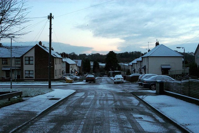
Image: © Wilson Adams Taken: 25 Dec 2004
Looking down Willow Gardens. The road junction on the left is Rowan Drive which is the main route out of Seymour Hill.
Images are licensed for reuse under creativecommons.org/licenses/by-sa/2.0
Image Location
Latitude
54.541532
Longitude
-6.005376