Selkirk Town Centre
Introduction
The photograph on this page of Selkirk Town Centre by Walter Baxter as part of the Geograph project.
The Geograph project started in 2005 with the aim of publishing, organising and preserving representative images for every square kilometre of Great Britain, Ireland and the Isle of Man.

There are currently over 7.5m images from over 14,400 individuals and you can help contribute to the project by visiting https://www.geograph.org.uk
Selkirk Town Centre
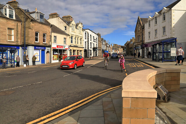
Image: © Walter Baxter Taken: 4 Oct 2020
This is a view from Market Place towards the High Street.
Images are licensed for reuse under creativecommons.org/licenses/by-sa/2.0
Image Location


Leaflet Map data © OpenStreetMap
Latitude
55.547311
Longitude
-2.84139