Lane to Upper Aston in Shropshire
Introduction
The photograph on this page of Lane to Upper Aston in Shropshire by Roger Kidd as part of the Geograph project.
The Geograph project started in 2005 with the aim of publishing, organising and preserving representative images for every square kilometre of Great Britain, Ireland and the Isle of Man.

There are currently over 7.5m images from over 14,400 individuals and you can help contribute to the project by visiting https://www.geograph.org.uk
Lane to Upper Aston in Shropshire
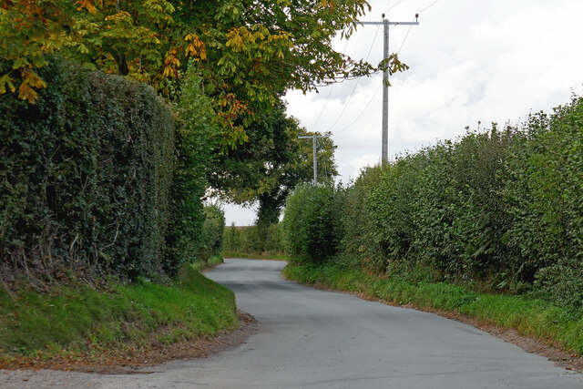
Image: © Roger Kidd Taken: 29 Sep 2020
The lane links Halfpenny Green to Upper Aston (and the B4176 road), crossing the county border from Staffordshire about three hundred metres ahead. Whittimere Farm is off to the left.
Images are licensed for reuse under creativecommons.org/licenses/by-sa/2.0
Image Location
Latitude
52.532233
Longitude
-2.263388