Staffordshire farmland east of Draycott
Introduction
The photograph on this page of Staffordshire farmland east of Draycott by Roger Kidd as part of the Geograph project.
The Geograph project started in 2005 with the aim of publishing, organising and preserving representative images for every square kilometre of Great Britain, Ireland and the Isle of Man.

There are currently over 7.5m images from over 14,400 individuals and you can help contribute to the project by visiting https://www.geograph.org.uk
Staffordshire farmland east of Draycott
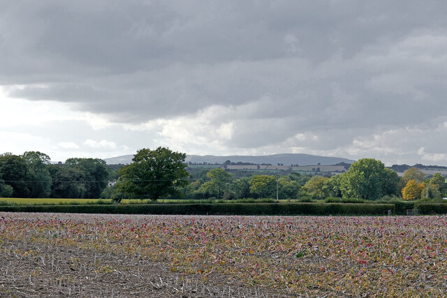
Image: © Roger Kidd Taken: 29 Sep 2020
Looking west-south-west towards Draycott, half a mile distant. Brown Clee Hill on the skyline is about fifteen miles away.
Images are licensed for reuse under creativecommons.org/licenses/by-sa/2.0
Image Location
Latitude
52.532771
Longitude
-2.263686