Ordnance Survey Rivet
Introduction
The photograph on this page of Ordnance Survey Rivet by V1ncenze as part of the Geograph project.
The Geograph project started in 2005 with the aim of publishing, organising and preserving representative images for every square kilometre of Great Britain, Ireland and the Isle of Man.

There are currently over 7.5m images from over 14,400 individuals and you can help contribute to the project by visiting https://www.geograph.org.uk
Ordnance Survey Rivet
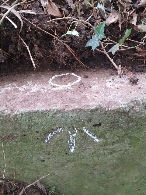
Image: © V1ncenze Taken: 21 Sep 2020
A rivet located on the wall of a culvert. The culvert is located on a small lane in Himbleton, Worcestershire. These rivets were used by Ordnance Survey for mapping purposes.
Images are licensed for reuse under creativecommons.org/licenses/by-sa/2.0
Image Location
Latitude
52.233197
Longitude
-2.106405