Cut Mark: Stoodleigh, Vials Corner
Introduction
The photograph on this page of Cut Mark: Stoodleigh, Vials Corner by Ninjading as part of the Geograph project.
The Geograph project started in 2005 with the aim of publishing, organising and preserving representative images for every square kilometre of Great Britain, Ireland and the Isle of Man.

There are currently over 7.5m images from over 14,400 individuals and you can help contribute to the project by visiting https://www.geograph.org.uk
Cut Mark: Stoodleigh, Vials Corner
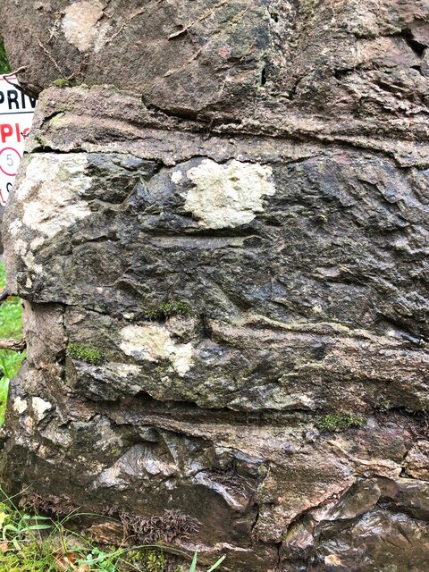
Image: © Ninjading Taken: 1 Oct 2020
This is a cut benchmark, 0.5m above the ground and 247.89m above Ordnance Datum Newlyn (Tide Gauge Bolt Newlyn Pier - the authoritative datum for the UK). It was last verified in 1968. Grid ref: SS 9152 1855.
Images are licensed for reuse under creativecommons.org/licenses/by-sa/2.0
Image Location
Latitude
50.956136
Longitude
-3.545879