Lincoln from the top of Hayes Wharf
Introduction
The photograph on this page of Lincoln from the top of Hayes Wharf by Oliver Mills as part of the Geograph project.
The Geograph project started in 2005 with the aim of publishing, organising and preserving representative images for every square kilometre of Great Britain, Ireland and the Isle of Man.

There are currently over 7.5m images from over 14,400 individuals and you can help contribute to the project by visiting https://www.geograph.org.uk
Lincoln from the top of Hayes Wharf
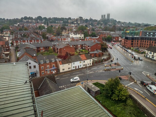
Image: © Oliver Mills Taken: 3 Oct 2020
Showing Carholme Road and the Northern connection of the Brayford Way (bottom right). The new building on the extreme right is Viking House, a student accommodation building with some flats containing up to 23 students. Taken from a lobby window on the 8th floor of Hayes Wharf.
Images are licensed for reuse under creativecommons.org/licenses/by-sa/2.0
Image Location
Latitude
53.230976
Longitude
-0.54876