Boundary stone on east side of B6412 opposite Scatterbeck House
Introduction
The photograph on this page of Boundary stone on east side of B6412 opposite Scatterbeck House by Roger Templeman as part of the Geograph project.
The Geograph project started in 2005 with the aim of publishing, organising and preserving representative images for every square kilometre of Great Britain, Ireland and the Isle of Man.

There are currently over 7.5m images from over 14,400 individuals and you can help contribute to the project by visiting https://www.geograph.org.uk
Boundary stone on east side of B6412 opposite Scatterbeck House
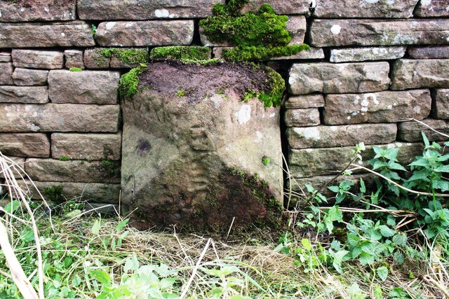
Image: © Roger Templeman Taken: 1 Oct 2020
The lettering at the top of the faces probably indicates Lazonby on the left side, and possibly Salkeld on the right. The stone has Milestone Society National ID: CU_GSALAZ01pb
Images are licensed for reuse under creativecommons.org/licenses/by-sa/2.0
Image Location
Latitude
54.738092
Longitude
-2.700898