Island, Hogganfield Loch
Introduction
The photograph on this page of Island, Hogganfield Loch by Richard Sutcliffe as part of the Geograph project.
The Geograph project started in 2005 with the aim of publishing, organising and preserving representative images for every square kilometre of Great Britain, Ireland and the Isle of Man.

There are currently over 7.5m images from over 14,400 individuals and you can help contribute to the project by visiting https://www.geograph.org.uk
Island, Hogganfield Loch
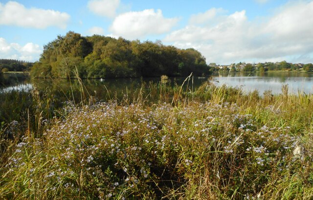
Image: © Richard Sutcliffe Taken: 29 Sep 2020
The island was created between 1924 and 1926 when the depth of the loch was increased to allow boating. Since the 1980s, visitors have not been allowed on the island which is kept as a sanctuary for wildlife. The loch is the major part of the Hogganfield Park Local Nature Reserve https://www.glasgow.gov.uk/article/16588/Hogganfield-Park-and-Local-Nature-Reserve-LNR.
Images are licensed for reuse under creativecommons.org/licenses/by-sa/2.0
Image Location
Latitude
55.877912
Longitude
-4.169071