Playing fields
Introduction
The photograph on this page of Playing fields by Richard Sutcliffe as part of the Geograph project.
The Geograph project started in 2005 with the aim of publishing, organising and preserving representative images for every square kilometre of Great Britain, Ireland and the Isle of Man.

There are currently over 7.5m images from over 14,400 individuals and you can help contribute to the project by visiting https://www.geograph.org.uk
Playing fields
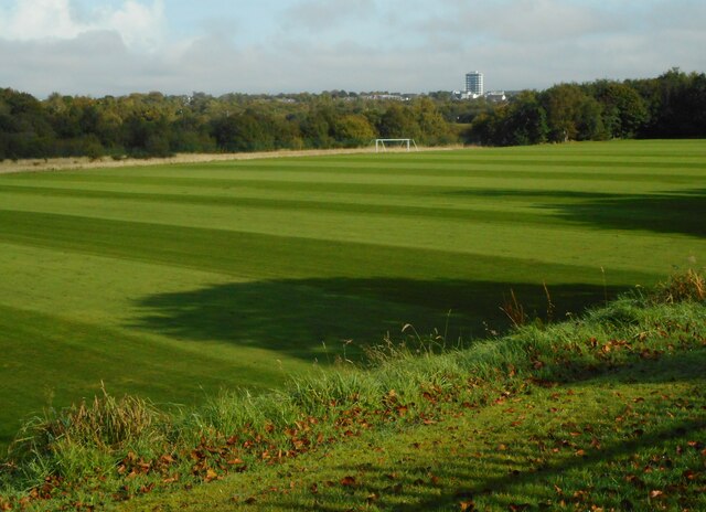
Image: © Richard Sutcliffe Taken: 29 Sep 2020
Looking across some of the University of Strathclyde's Stepps Playing Fields, towards the distinctive Buchanan Tower at Stepps.
Images are licensed for reuse under creativecommons.org/licenses/by-sa/2.0
Image Location
Latitude
55.881756
Longitude
-4.154896