Lower Garfield Street, Belfast
Introduction
The photograph on this page of Lower Garfield Street, Belfast by Rossographer as part of the Geograph project.
The Geograph project started in 2005 with the aim of publishing, organising and preserving representative images for every square kilometre of Great Britain, Ireland and the Isle of Man.

There are currently over 7.5m images from over 14,400 individuals and you can help contribute to the project by visiting https://www.geograph.org.uk
Lower Garfield Street, Belfast
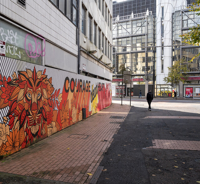
Image: © Rossographer Taken: 1 Oct 2020
Lower Garfield Street at the junction with Royal Avenue. Still awaiting redevelopment - see https://www.bbc.co.uk/news/uk-northern-ireland-54017655 for the latest. Artwork by Danni Simpson https://www.instagram.com/dannisimpsonart/?hl=en .
Images are licensed for reuse under creativecommons.org/licenses/by-sa/2.0
Image Location
Latitude
54.60111
Longitude
-5.930964