Hough Farm
Introduction
The photograph on this page of Hough Farm by michael ely as part of the Geograph project.
The Geograph project started in 2005 with the aim of publishing, organising and preserving representative images for every square kilometre of Great Britain, Ireland and the Isle of Man.

There are currently over 7.5m images from over 14,400 individuals and you can help contribute to the project by visiting https://www.geograph.org.uk
Hough Farm
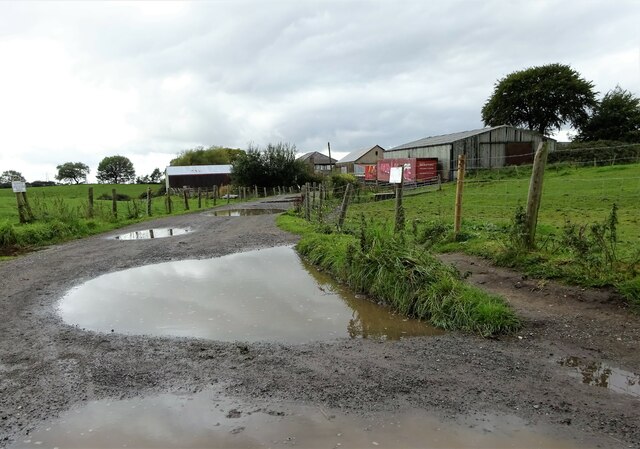
Image: © michael ely Taken: 1 Oct 2020
At the end of Oozewood Road near Tandle Hill country park.
Images are licensed for reuse under creativecommons.org/licenses/by-sa/2.0
Image Location
Latitude
53.569951
Longitude
-2.150811