Confusion - then clarity of signs?
Introduction
The photograph on this page of Confusion - then clarity of signs? by Gordon Brown as part of the Geograph project.
The Geograph project started in 2005 with the aim of publishing, organising and preserving representative images for every square kilometre of Great Britain, Ireland and the Isle of Man.

There are currently over 7.5m images from over 14,400 individuals and you can help contribute to the project by visiting https://www.geograph.org.uk
Confusion - then clarity of signs?
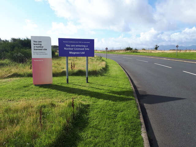
Image: © Gordon Brown Taken: 29 Sep 2020
The explanation is that at this point we leave the licensed site for Hunterston 'B' AGR reactor, still operating, and enter the site of Hunterston 'A' Magnox reactor, currently being decommissioned.
Images are licensed for reuse under creativecommons.org/licenses/by-sa/2.0
Image Location
Latitude
55.722634
Longitude
-4.899387