Boundary Pillar, Pitchcombe nr Stroud
Introduction
The photograph on this page of Boundary Pillar, Pitchcombe nr Stroud by Mr Red as part of the Geograph project.
The Geograph project started in 2005 with the aim of publishing, organising and preserving representative images for every square kilometre of Great Britain, Ireland and the Isle of Man.

There are currently over 7.5m images from over 14,400 individuals and you can help contribute to the project by visiting https://www.geograph.org.uk
Boundary Pillar, Pitchcombe nr Stroud
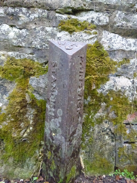
Image: © Mr Red Taken: 29 Sep 2020
Wade's Lane off the A46, on a bridge over the Painswick Stream. Boundary between Painswick & Standish. Milestone Society National ID: GL_PITPAI01pb
Images are licensed for reuse under creativecommons.org/licenses/by-sa/2.0
Image Location
Latitude
51.766068
Longitude
-2.217197