The Beal Valley
Introduction
The photograph on this page of The Beal Valley by Bryan Tenny as part of the Geograph project.
The Geograph project started in 2005 with the aim of publishing, organising and preserving representative images for every square kilometre of Great Britain, Ireland and the Isle of Man.

There are currently over 7.5m images from over 14,400 individuals and you can help contribute to the project by visiting https://www.geograph.org.uk
The Beal Valley
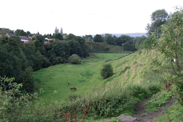
Image: © Bryan Tenny Taken: 29 Sep 2020
Viewed from Ashes Lane, the Beal Valley contains the River Beal, a tributary of the Roch, which is itself a tributary of the River Irwell.
Images are licensed for reuse under creativecommons.org/licenses/by-sa/2.0
Image Location
Latitude
53.614033
Longitude
-2.115446