Ashes Farm
Introduction
The photograph on this page of Ashes Farm by Bryan Tenny as part of the Geograph project.
The Geograph project started in 2005 with the aim of publishing, organising and preserving representative images for every square kilometre of Great Britain, Ireland and the Isle of Man.

There are currently over 7.5m images from over 14,400 individuals and you can help contribute to the project by visiting https://www.geograph.org.uk
Ashes Farm
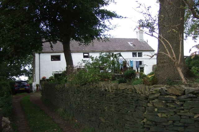
Image: © Bryan Tenny Taken: 29 Sep 2020
Situated on Ashes Lane this was an active farm until the mid 1970s when its fields were sold off for building. Its grounds contain the grave of John Stock after whom the nearby Stock Grove on the farm's former fields was built.
Images are licensed for reuse under creativecommons.org/licenses/by-sa/2.0
Image Location
Latitude
53.615111
Longitude
-2.115903