Footpath junction, Watchwood
Introduction
The photograph on this page of Footpath junction, Watchwood by Alan Murray-Rust as part of the Geograph project.
The Geograph project started in 2005 with the aim of publishing, organising and preserving representative images for every square kilometre of Great Britain, Ireland and the Isle of Man.

There are currently over 7.5m images from over 14,400 individuals and you can help contribute to the project by visiting https://www.geograph.org.uk
Footpath junction, Watchwood
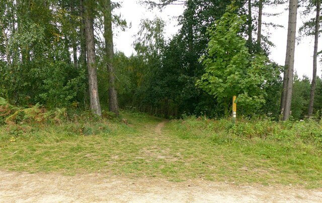
Image: © Alan Murray-Rust Taken: 27 Sep 2020
The meeting of the only two formal rights of way in the plantation, although the whole of it is Open access and all rides and paths are freely accessible.
Images are licensed for reuse under creativecommons.org/licenses/by-sa/2.0
Image Location
Latitude
53.055967
Longitude
-1.107901