Irrigation pipeline
Introduction
The photograph on this page of Irrigation pipeline by Alan Murray-Rust as part of the Geograph project.
The Geograph project started in 2005 with the aim of publishing, organising and preserving representative images for every square kilometre of Great Britain, Ireland and the Isle of Man.

There are currently over 7.5m images from over 14,400 individuals and you can help contribute to the project by visiting https://www.geograph.org.uk
Irrigation pipeline
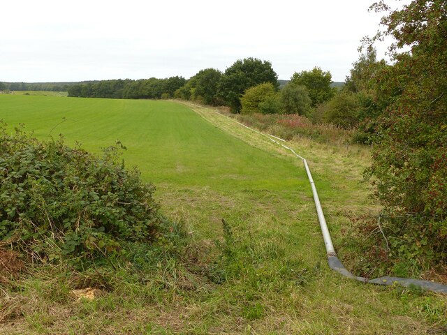
Image: © Alan Murray-Rust Taken: 27 Sep 2020
This stretches at least as far as the railway bridge over the A614.
Images are licensed for reuse under creativecommons.org/licenses/by-sa/2.0
Image Location
Latitude
53.061476
Longitude
-1.099282