Former Victoria Infirmary
Introduction
The photograph on this page of Former Victoria Infirmary by Thomas Nugent as part of the Geograph project.
The Geograph project started in 2005 with the aim of publishing, organising and preserving representative images for every square kilometre of Great Britain, Ireland and the Isle of Man.

There are currently over 7.5m images from over 14,400 individuals and you can help contribute to the project by visiting https://www.geograph.org.uk
Former Victoria Infirmary
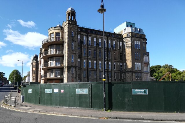
Image: © Thomas Nugent Taken: 26 Sep 2020
Much of the hospital has been demolished, but the Nightingale Wards seen here will be incorporated into a new housing development on the site.
Images are licensed for reuse under creativecommons.org/licenses/by-sa/2.0
Image Location
Latitude
55.827338
Longitude
-4.267324