Barn at Lee Lane Farm, Horsforth
Introduction
The photograph on this page of Barn at Lee Lane Farm, Horsforth by Stephen Craven as part of the Geograph project.
The Geograph project started in 2005 with the aim of publishing, organising and preserving representative images for every square kilometre of Great Britain, Ireland and the Isle of Man.

There are currently over 7.5m images from over 14,400 individuals and you can help contribute to the project by visiting https://www.geograph.org.uk
Barn at Lee Lane Farm, Horsforth
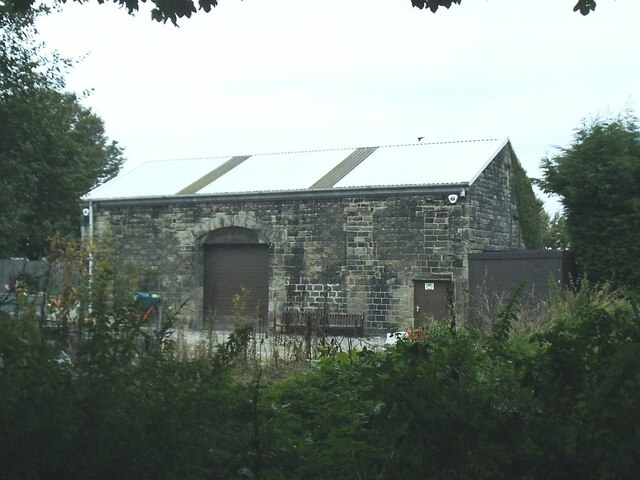
Image: © Stephen Craven Taken: 22 Sep 2020
An early 20th century map shows this barn clearly linked with the farmhouse across the road Image but it's now effectively part of the Trinity University campus and may be used by the university.
Images are licensed for reuse under creativecommons.org/licenses/by-sa/2.0
Image Location
Latitude
53.846899
Longitude
-1.646271