Path towards Widley Copse
Introduction
The photograph on this page of Path towards Widley Copse by Bill Boaden as part of the Geograph project.
The Geograph project started in 2005 with the aim of publishing, organising and preserving representative images for every square kilometre of Great Britain, Ireland and the Isle of Man.

There are currently over 7.5m images from over 14,400 individuals and you can help contribute to the project by visiting https://www.geograph.org.uk
Path towards Widley Copse
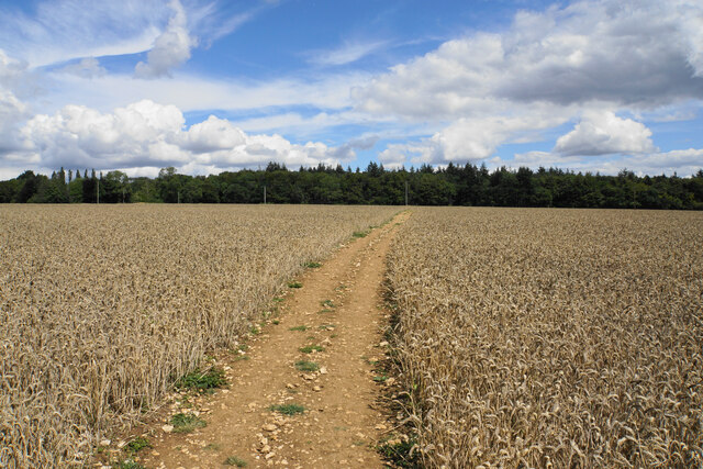
Image: © Bill Boaden Taken: 3 Aug 2020
Widley Copse forms the whole backdrop, and it can be seen to include a variety of trees.
Images are licensed for reuse under creativecommons.org/licenses/by-sa/2.0
Image Location


Leaflet Map data © OpenStreetMap
Latitude
51.821182
Longitude
-1.608226