Across Boiling Wells
Introduction
The photograph on this page of Across Boiling Wells by Chris Morgan as part of the Geograph project.
The Geograph project started in 2005 with the aim of publishing, organising and preserving representative images for every square kilometre of Great Britain, Ireland and the Isle of Man.

There are currently over 7.5m images from over 14,400 individuals and you can help contribute to the project by visiting https://www.geograph.org.uk
Across Boiling Wells
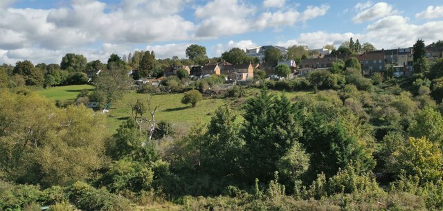
Image: © Chris Morgan Taken: 25 Sep 2020
Houses on Stottbury Road, and the modern Fairfield High School behind
Images are licensed for reuse under creativecommons.org/licenses/by-sa/2.0
Image Location
Latitude
51.476344
Longitude
-2.571726