Stoneyholm Road/Bridgend, Kilbirnie, North Ayrshire
Introduction
The photograph on this page of Stoneyholm Road/Bridgend, Kilbirnie, North Ayrshire by Mark S as part of the Geograph project.
The Geograph project started in 2005 with the aim of publishing, organising and preserving representative images for every square kilometre of Great Britain, Ireland and the Isle of Man.

There are currently over 7.5m images from over 14,400 individuals and you can help contribute to the project by visiting https://www.geograph.org.uk
Stoneyholm Road/Bridgend, Kilbirnie, North Ayrshire
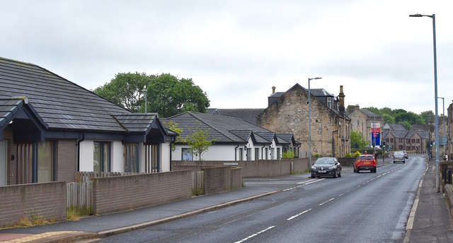
Image: © Mark S Taken: 13 Jun 2020
Looking along Stoneyholm Road towards Bridgend. The buildings on the left are part of a sheltered housing complex developed from the original Montgomery Court complex.
Images are licensed for reuse under creativecommons.org/licenses/by-sa/2.0
Image Location
Latitude
55.756694
Longitude
-4.682256