Inside Black Cove (1) near low water
Introduction
The photograph on this page of Inside Black Cove (1) near low water by Nigel Feilden as part of the Geograph project.
The Geograph project started in 2005 with the aim of publishing, organising and preserving representative images for every square kilometre of Great Britain, Ireland and the Isle of Man.

There are currently over 7.5m images from over 14,400 individuals and you can help contribute to the project by visiting https://www.geograph.org.uk
Inside Black Cove (1) near low water
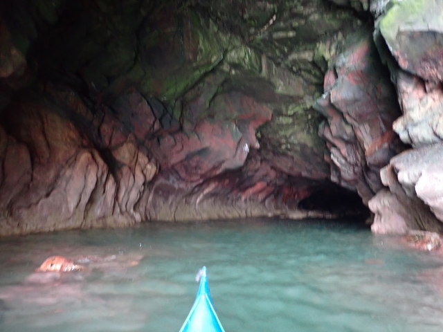
Image: © Nigel Feilden Taken: 23 Sep 2020
Taken from just inside the entrance: The tunnel curves round to the right, maintaining about the same width, but changing in shape from an approximately square section at entry to a fairly flattened ellipse. The barnacle line tells us that there will not be nearly so much headroom at high water. The boulder beach is out of sight in the dark.
Images are licensed for reuse under creativecommons.org/licenses/by-sa/2.0
Image Location
Latitude
57.103485
Longitude
-2.073669