Gilderdale Bridge
Introduction
The photograph on this page of Gilderdale Bridge by Trevor Littlewood as part of the Geograph project.
The Geograph project started in 2005 with the aim of publishing, organising and preserving representative images for every square kilometre of Great Britain, Ireland and the Isle of Man.

There are currently over 7.5m images from over 14,400 individuals and you can help contribute to the project by visiting https://www.geograph.org.uk
Gilderdale Bridge
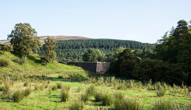
Image: © Trevor Littlewood Taken: 18 Sep 2020
Gilderdale Bridge carries the A689 over Gilderdale Burn; the stream and its passage beneath the bridge are shadowed in the image. The brightly sunlit, tapering pillar is a buttress of the south-west side of the bridge. Ayle Common is in the distance.
Images are licensed for reuse under creativecommons.org/licenses/by-sa/2.0
Image Location
Latitude
54.82945
Longitude
-2.465402