Parrock Lane
Introduction
The photograph on this page of Parrock Lane by Marathon as part of the Geograph project.
The Geograph project started in 2005 with the aim of publishing, organising and preserving representative images for every square kilometre of Great Britain, Ireland and the Isle of Man.

There are currently over 7.5m images from over 14,400 individuals and you can help contribute to the project by visiting https://www.geograph.org.uk
Parrock Lane
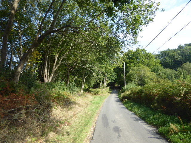
Image: © Marathon Taken: 20 Sep 2020
A little way ahead, a track on the left leads to a sewage works but also is followed by a footpath which reaches Forest Way.
Images are licensed for reuse under creativecommons.org/licenses/by-sa/2.0
Image Location
Latitude
51.094753
Longitude
0.072726