Footpath to Hucknall
Introduction
The photograph on this page of Footpath to Hucknall by Alan Murray-Rust as part of the Geograph project.
The Geograph project started in 2005 with the aim of publishing, organising and preserving representative images for every square kilometre of Great Britain, Ireland and the Isle of Man.

There are currently over 7.5m images from over 14,400 individuals and you can help contribute to the project by visiting https://www.geograph.org.uk
Footpath to Hucknall
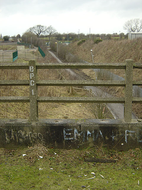
Image: © Alan Murray-Rust Taken: 13 Jan 2008
A long-standing right of way between Bestwood Village and Hucknall, seen from the railway bridge of the disused railway line to Calverton Colliery
Images are licensed for reuse under creativecommons.org/licenses/by-sa/2.0
Image Location


Leaflet Map data © OpenStreetMap
Latitude
53.029561
Longitude
-1.186282