Broad Valley Drive estate and Broad Valley Farm
Introduction
The photograph on this page of Broad Valley Drive estate and Broad Valley Farm by Alan Murray-Rust as part of the Geograph project.
The Geograph project started in 2005 with the aim of publishing, organising and preserving representative images for every square kilometre of Great Britain, Ireland and the Isle of Man.

There are currently over 7.5m images from over 14,400 individuals and you can help contribute to the project by visiting https://www.geograph.org.uk
Broad Valley Drive estate and Broad Valley Farm
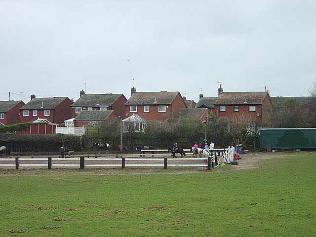
Image: © Alan Murray-Rust Taken: 13 Jan 2008
The farm is now a riding school. The housing estate is the most recently developed part of Bestwood Village and post-dates the closure of the colliery. The village shows a clear chronology of development from the time when it was first started as a mining village in the 1870s
Images are licensed for reuse under creativecommons.org/licenses/by-sa/2.0
Image Location
Latitude
53.025239
Longitude
-1.172199