Sandraw, near Aspatria
Introduction
The photograph on this page of Sandraw, near Aspatria by Nigel Monckton as part of the Geograph project.
The Geograph project started in 2005 with the aim of publishing, organising and preserving representative images for every square kilometre of Great Britain, Ireland and the Isle of Man.

There are currently over 7.5m images from over 14,400 individuals and you can help contribute to the project by visiting https://www.geograph.org.uk
Sandraw, near Aspatria
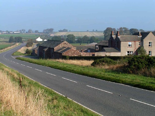
Image: © Nigel Monckton Taken: 16 Oct 2005
Another very large traditional Cumbrian farmhouse, close to the A596(T). Inspection suggests that at one time the main road ran behind the bushes to the right of the shot, emerging where the entrance to the farm now lies.
Images are licensed for reuse under creativecommons.org/licenses/by-sa/2.0
Image Location
Latitude
54.791378
Longitude
-3.275238