Cottages at Warth Fold
Introduction
The photograph on this page of Cottages at Warth Fold by David Dixon as part of the Geograph project.
The Geograph project started in 2005 with the aim of publishing, organising and preserving representative images for every square kilometre of Great Britain, Ireland and the Isle of Man.

There are currently over 7.5m images from over 14,400 individuals and you can help contribute to the project by visiting https://www.geograph.org.uk
Cottages at Warth Fold
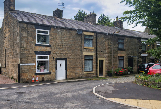
Image: © David Dixon Taken: 23 Sep 2020
Dennis Turner described these as "the last remaining cottages of the old Warth village" in his photograph from 2005 (Image). They are shown on the OS map of 1889 https://www.old-maps.co.uk/#/Map/379000/409000/12/101394 and may have been built for workers at the nearby cotton mill which was built around that time and became an infamous internment camp during the Second World War (https://www.burytimes.co.uk/news/16309866.hidden-history-horror-brutality-injustice-warth-mills-wwii-prison-camp/ Bury Times)
Images are licensed for reuse under creativecommons.org/licenses/by-sa/2.0
Image Location
Latitude
53.58025
Longitude
-2.310342