Croesor track
Introduction
The photograph on this page of Croesor track by Jonathan Wilkins as part of the Geograph project.
The Geograph project started in 2005 with the aim of publishing, organising and preserving representative images for every square kilometre of Great Britain, Ireland and the Isle of Man.

There are currently over 7.5m images from over 14,400 individuals and you can help contribute to the project by visiting https://www.geograph.org.uk
Croesor track
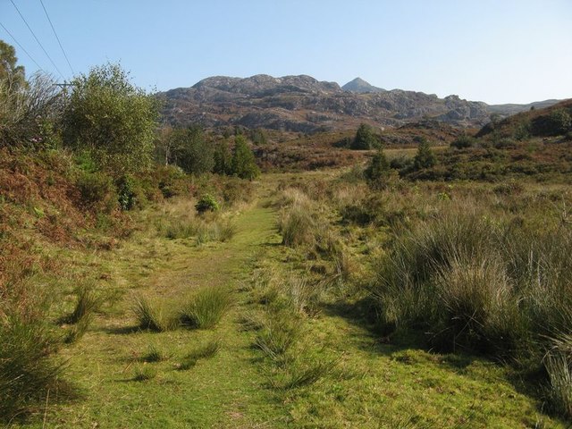
Image: © Jonathan Wilkins Taken: 21 Sep 2020
A fine track leading over the moorland towards Croesor, now branded and signed as part of both the "Snowdonia Slate Trail" and the "Cambrian Way". This was originally the coach road from Caernarfon to Dolgellau, following an earlier pack-horse trail. When I came here first in 1975 the only recognised long-distance path was the Pennine Way! For nearly three weeks this was my walk to work, as a geology student on a field mapping assignment. Yr Arddu and Cnicht beckon in the distance.
Images are licensed for reuse under creativecommons.org/licenses/by-sa/2.0
Image Location
Latitude
52.986143
Longitude
-4.066998