Sun Street, Eastburn
Introduction
The photograph on this page of Sun Street, Eastburn by Chris Heaton as part of the Geograph project.
The Geograph project started in 2005 with the aim of publishing, organising and preserving representative images for every square kilometre of Great Britain, Ireland and the Isle of Man.

There are currently over 7.5m images from over 14,400 individuals and you can help contribute to the project by visiting https://www.geograph.org.uk
Sun Street, Eastburn
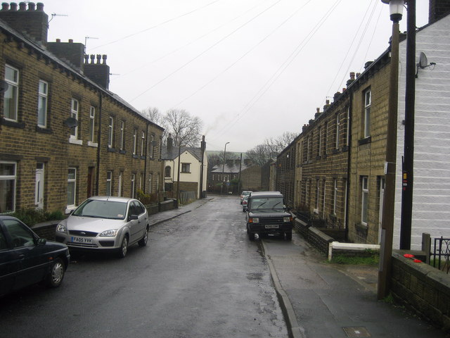
Image: © Chris Heaton Taken: 16 Jan 2008
Street containing terraced housing running down to the B6265 (recently renumbered) Cross Hills/Keighley Road.
Images are licensed for reuse under creativecommons.org/licenses/by-sa/2.0
Image Location
Latitude
53.89577
Longitude
-1.970747