Sand Lane in Huby, looking North
Introduction
The photograph on this page of Sand Lane in Huby, looking North by Chris Heaton as part of the Geograph project.
The Geograph project started in 2005 with the aim of publishing, organising and preserving representative images for every square kilometre of Great Britain, Ireland and the Isle of Man.

There are currently over 7.5m images from over 14,400 individuals and you can help contribute to the project by visiting https://www.geograph.org.uk
Sand Lane in Huby, looking North
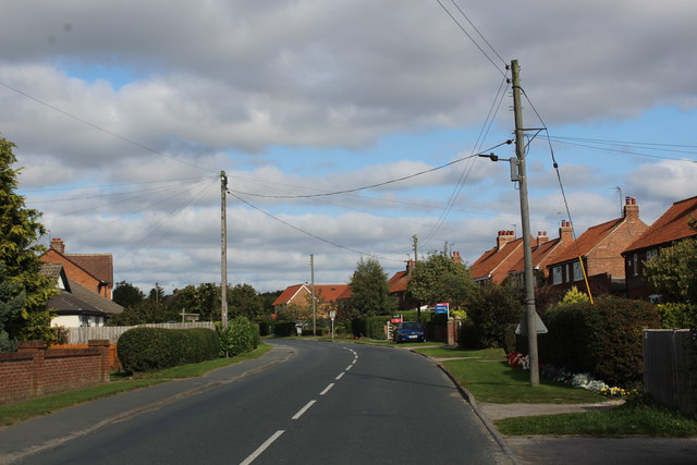
Image: © Chris Heaton Taken: 19 Sep 2020
Sand Lane heading north out of the village of Huby. A road sign also labelled this thoroughfare as Easingwold Road - locally known as Sand Lane.
Images are licensed for reuse under creativecommons.org/licenses/by-sa/2.0
Image Location
Latitude
54.086348
Longitude
-1.134567