Benchmark on old priory
Introduction
The photograph on this page of Benchmark on old priory by Neville Goodman as part of the Geograph project.
The Geograph project started in 2005 with the aim of publishing, organising and preserving representative images for every square kilometre of Great Britain, Ireland and the Isle of Man.

There are currently over 7.5m images from over 14,400 individuals and you can help contribute to the project by visiting https://www.geograph.org.uk
Benchmark on old priory
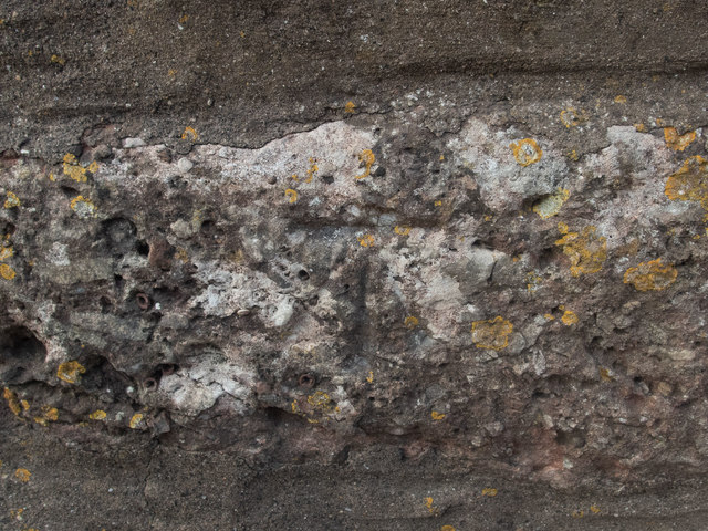
Image: © Neville Goodman Taken: 20 Sep 2020
This cut benchmark is on the Old Priory in Portbury. It is near the bottom of the drainpipe on the nearest angle in Image The OS description is DIS SCH BLDG NW SIDE CASWELL LANE SE FACE S ANG, which is interesting. The school was disused even when the benchmark was verified in 1966.
Images are licensed for reuse under creativecommons.org/licenses/by-sa/2.0
Image Location
Latitude
51.473705
Longitude
-2.723837