Severn Way, near Stourport
Introduction
The photograph on this page of Severn Way, near Stourport by Chris Allen as part of the Geograph project.
The Geograph project started in 2005 with the aim of publishing, organising and preserving representative images for every square kilometre of Great Britain, Ireland and the Isle of Man.

There are currently over 7.5m images from over 14,400 individuals and you can help contribute to the project by visiting https://www.geograph.org.uk
Severn Way, near Stourport
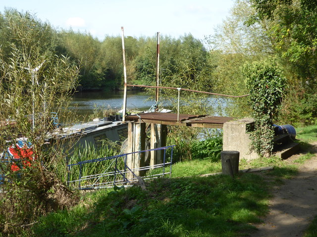
Image: © Chris Allen Taken: 19 Sep 2020
This is alongside the Sandys Lane Industrial Estate. The river bank shows evidence of former industrial structures and cranes but is now used for mooring only. The path narrows ahead and was blocked by three people (one fishing and two talking) who showed no signs of moving to give me social distance (how rude and ignorant are some people in these times of Covid-19) so rather than pushing the point I turned back and made time to go elsewhere.
Images are licensed for reuse under creativecommons.org/licenses/by-sa/2.0
Image Location
Latitude
52.327688
Longitude
-2.272442