Gordon Mills, Guiseley - the engine house
Introduction
The photograph on this page of Gordon Mills, Guiseley - the engine house by Stephen Craven as part of the Geograph project.
The Geograph project started in 2005 with the aim of publishing, organising and preserving representative images for every square kilometre of Great Britain, Ireland and the Isle of Man.

There are currently over 7.5m images from over 14,400 individuals and you can help contribute to the project by visiting https://www.geograph.org.uk
Gordon Mills, Guiseley - the engine house
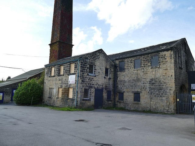
Image: © Stephen Craven Taken: 12 Sep 2020
As late as the 1950s the OS map shows a rail siding serving this building, presumably for the delivery of fuel.
Images are licensed for reuse under creativecommons.org/licenses/by-sa/2.0
Image Location
Latitude
53.880078
Longitude
-1.719767