Helmgrove Farm
Introduction
The photograph on this page of Helmgrove Farm by Simon Carey as part of the Geograph project.
The Geograph project started in 2005 with the aim of publishing, organising and preserving representative images for every square kilometre of Great Britain, Ireland and the Isle of Man.

There are currently over 7.5m images from over 14,400 individuals and you can help contribute to the project by visiting https://www.geograph.org.uk
Helmgrove Farm
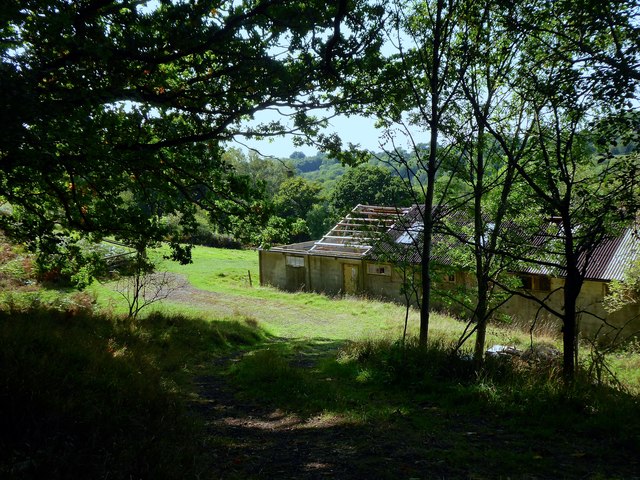
Image: © Simon Carey Taken: 13 Sep 2020
Looking very deserted off the western side of Highbrook Lane.
Images are licensed for reuse under creativecommons.org/licenses/by-sa/2.0
Image Location
Latitude
51.062057
Longitude
-0.055181