Where Marine Parade meets Marine Hill
Introduction
The photograph on this page of Where Marine Parade meets Marine Hill by Neil Owen as part of the Geograph project.
The Geograph project started in 2005 with the aim of publishing, organising and preserving representative images for every square kilometre of Great Britain, Ireland and the Isle of Man.

There are currently over 7.5m images from over 14,400 individuals and you can help contribute to the project by visiting https://www.geograph.org.uk
Where Marine Parade meets Marine Hill
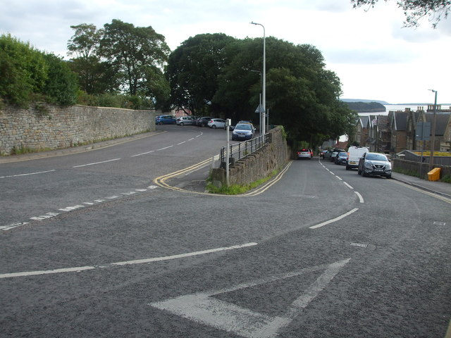
Image: © Neil Owen Taken: 31 Aug 2020
The road up from the coast greets the B3130 at a rather acute hairpin. Just at the end of the partitioning wall is a benchmark - see Image
Images are licensed for reuse under creativecommons.org/licenses/by-sa/2.0
Image Location
Latitude
51.444371
Longitude
-2.860112