River Garry at Blair Atholl
Introduction
The photograph on this page of River Garry at Blair Atholl by Jim Barton as part of the Geograph project.
The Geograph project started in 2005 with the aim of publishing, organising and preserving representative images for every square kilometre of Great Britain, Ireland and the Isle of Man.

There are currently over 7.5m images from over 14,400 individuals and you can help contribute to the project by visiting https://www.geograph.org.uk
River Garry at Blair Atholl
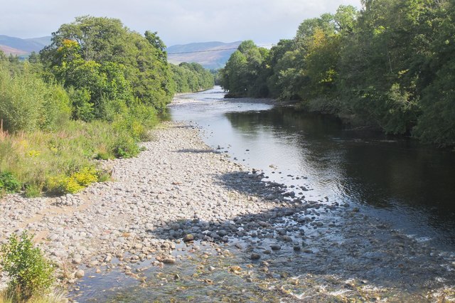
Image: © Jim Barton Taken: 11 Sep 2020
A view downstream from the footbridge. The confluence with the Tilt is in the middle distance, but not obvious from this point.
Images are licensed for reuse under creativecommons.org/licenses/by-sa/2.0
Image Location
Latitude
56.761591
Longitude
-3.844144