Stoneymeadow Road crosses the Rotten Calder
Introduction
The photograph on this page of Stoneymeadow Road crosses the Rotten Calder by Alec MacKinnon as part of the Geograph project.
The Geograph project started in 2005 with the aim of publishing, organising and preserving representative images for every square kilometre of Great Britain, Ireland and the Isle of Man.

There are currently over 7.5m images from over 14,400 individuals and you can help contribute to the project by visiting https://www.geograph.org.uk
Stoneymeadow Road crosses the Rotten Calder
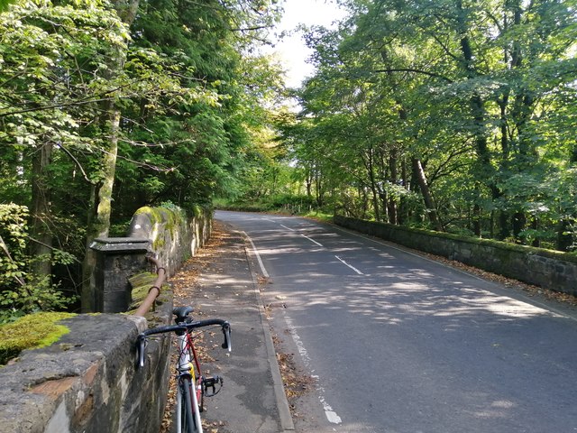
Image: © Alec MacKinnon Taken: 17 Sep 2020
The picture is taken looking east from the road bridge over the river whose name is Rotten Calder.
Images are licensed for reuse under creativecommons.org/licenses/by-sa/2.0
Image Location
Latitude
55.782364
Longitude
-4.128672