National Cycle Route 74 in Ferniegair
Introduction
The photograph on this page of National Cycle Route 74 in Ferniegair by wrobison as part of the Geograph project.
The Geograph project started in 2005 with the aim of publishing, organising and preserving representative images for every square kilometre of Great Britain, Ireland and the Isle of Man.

There are currently over 7.5m images from over 14,400 individuals and you can help contribute to the project by visiting https://www.geograph.org.uk
National Cycle Route 74 in Ferniegair
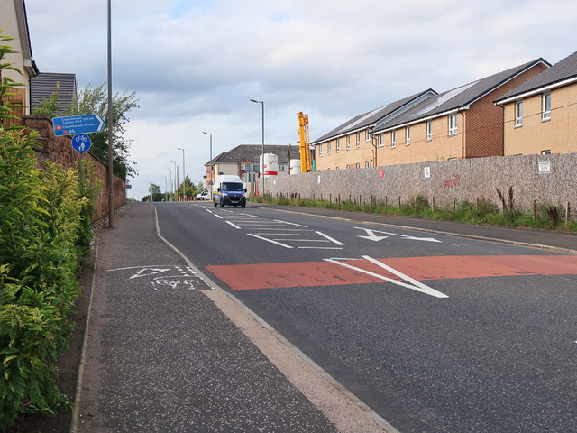
Image: © wrobison Taken: 14 Sep 2020
At an uncontrolled crossing point on Carlisle Road where the route continues on the other pavement.
Images are licensed for reuse under creativecommons.org/licenses/by-sa/2.0
Image Location
Latitude
55.763345
Longitude
-4.003781