River Calder at Vale
Introduction
The photograph on this page of River Calder at Vale by David Dixon as part of the Geograph project.
The Geograph project started in 2005 with the aim of publishing, organising and preserving representative images for every square kilometre of Great Britain, Ireland and the Isle of Man.

There are currently over 7.5m images from over 14,400 individuals and you can help contribute to the project by visiting https://www.geograph.org.uk
River Calder at Vale
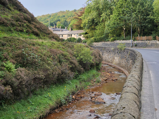
Image: © David Dixon Taken: 15 Sep 2020
The River Calder with the A646 running alongside it. The Calder rises a few kilometres to the west, on Heald Moor in Lancashire. It then flows east into West Yorkshire through green countryside and former woollen-mill villages and towns before joining the River Aire near Castleford.
Images are licensed for reuse under creativecommons.org/licenses/by-sa/2.0
Image Location
Latitude
53.730773
Longitude
-2.131379