Disused building at Kirklington Hall
Introduction
The photograph on this page of Disused building at Kirklington Hall by Alan Murray-Rust as part of the Geograph project.
The Geograph project started in 2005 with the aim of publishing, organising and preserving representative images for every square kilometre of Great Britain, Ireland and the Isle of Man.

There are currently over 7.5m images from over 14,400 individuals and you can help contribute to the project by visiting https://www.geograph.org.uk
Disused building at Kirklington Hall
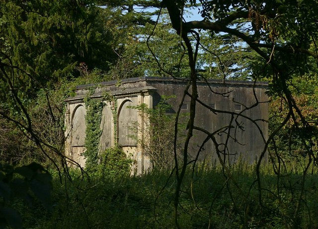
Image: © Alan Murray-Rust Taken: 13 Sep 2020
This appears on old OS maps as 'Summer House' and probably dates from the first part of the 19th century, if not earlier.
Images are licensed for reuse under creativecommons.org/licenses/by-sa/2.0
Image Location
Latitude
53.113728
Longitude
-0.979714