Middle Corkhill Farm, Normanton
Introduction
The photograph on this page of Middle Corkhill Farm, Normanton by Alan Murray-Rust as part of the Geograph project.
The Geograph project started in 2005 with the aim of publishing, organising and preserving representative images for every square kilometre of Great Britain, Ireland and the Isle of Man.

There are currently over 7.5m images from over 14,400 individuals and you can help contribute to the project by visiting https://www.geograph.org.uk
Middle Corkhill Farm, Normanton
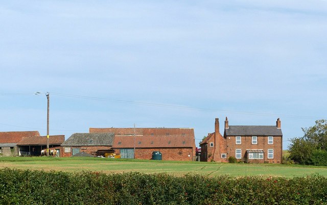
Image: © Alan Murray-Rust Taken: 13 Sep 2020
One of three farms along the Cork Hill ridge, presenting itself as a predominantly 19th century farmstead.
Images are licensed for reuse under creativecommons.org/licenses/by-sa/2.0
Image Location
Latitude
53.098319
Longitude
-0.954689